Services
OUR SERVICES
What Service We Provide
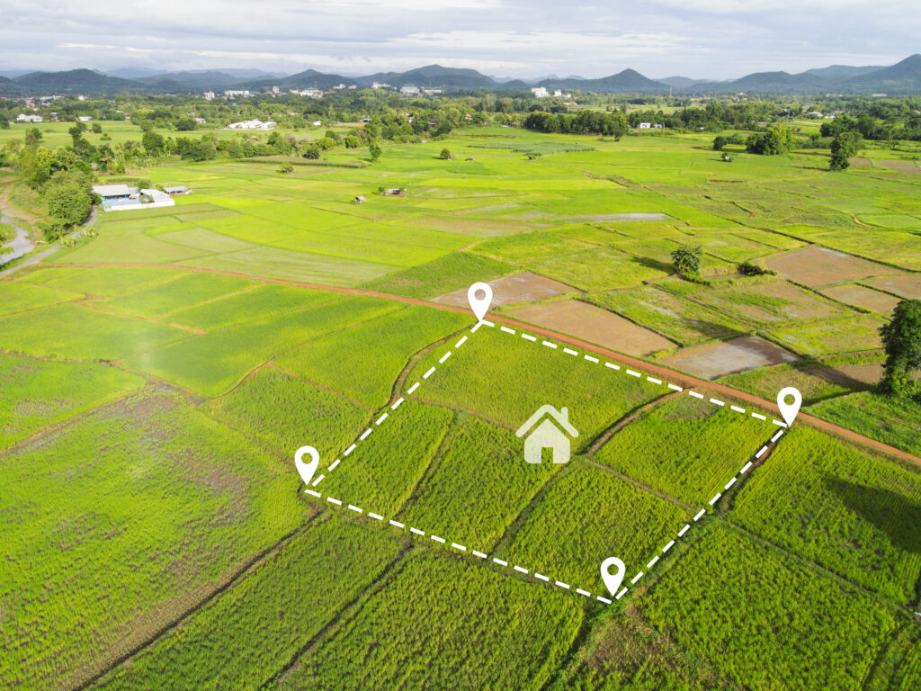
Land Survey
Land Survey (sometimes called cadastral or property surveys) are conducted to established the exact Location and extent of the property.
Land surveying is the art and science of establishing or reestablishing corners, lines, boundaries, and monuments of real property.

Topographical Survey
It involves mapping the natural and artificial features of a landscape including its elevation, contours, Vegetation, water bodies, buildings, roads, and other structures. This survey creates a precise and detailed representation of the land’s surface.

Contour survey and Quantity calculation
A contour survey maps the varying elevations of a land area, illustrating topographic features and contours essential for design and construction planning. It provides crucial information about slopes, elevations, and natural features, aiding in effective land use and development. This survey helps visualize the land’s vertical and horizontal shape.
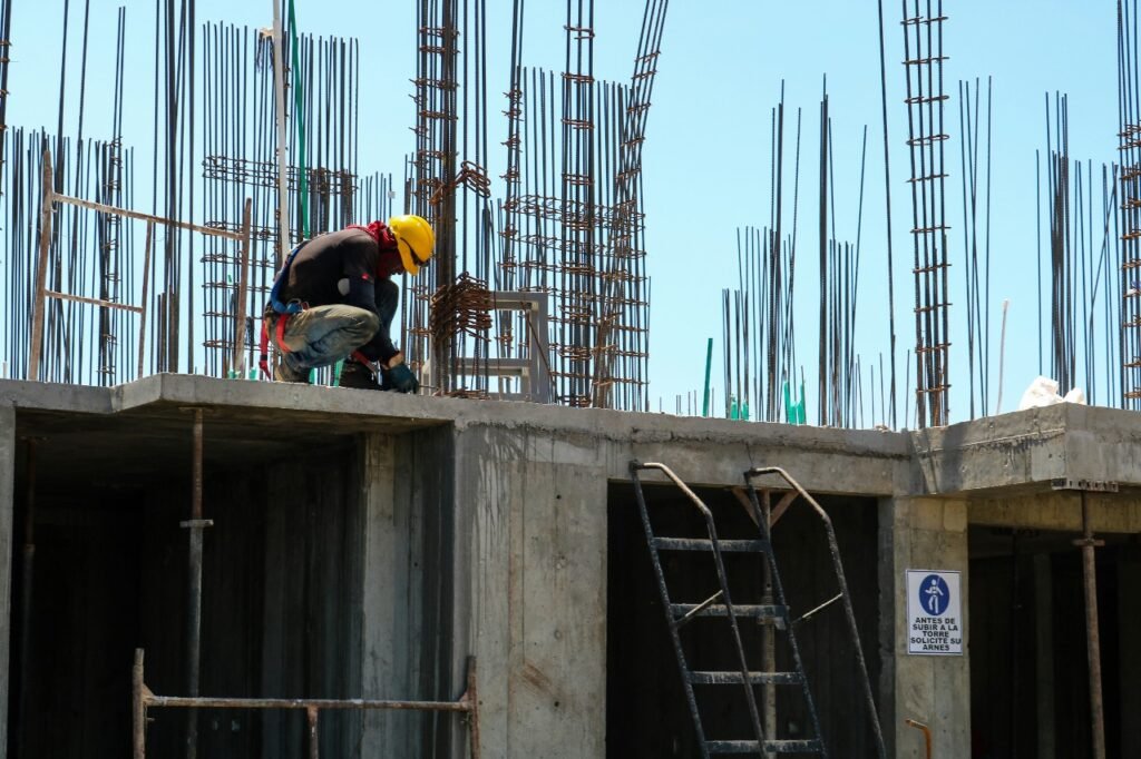
Building Setting out
It is the process of developing the physical positions of corners and walls of a building, and its done by transferring dimensions from the layout plan (also called as setting out plan demarcation plan) to the ground.
Marking the precise positions of a proposed structure’s corners and walls on the ground before construction begins. It Involves translating architectural designs or blueprints into physical markers on the site to guide the construction process accurately.

Levelling Survey
Leveling surveys aim to determine the relative heights of various points on the Earth’s surface, providing essential data for construction, engineering, and land development projects. By measuring the vertical distance between different locations, these surveys ensure accurate alignment and elevation for structures, helping to establish a reliable foundation. This process is crucial for creating level surfaces, preventing drainage issues, and ensuring compliance with design specifications.
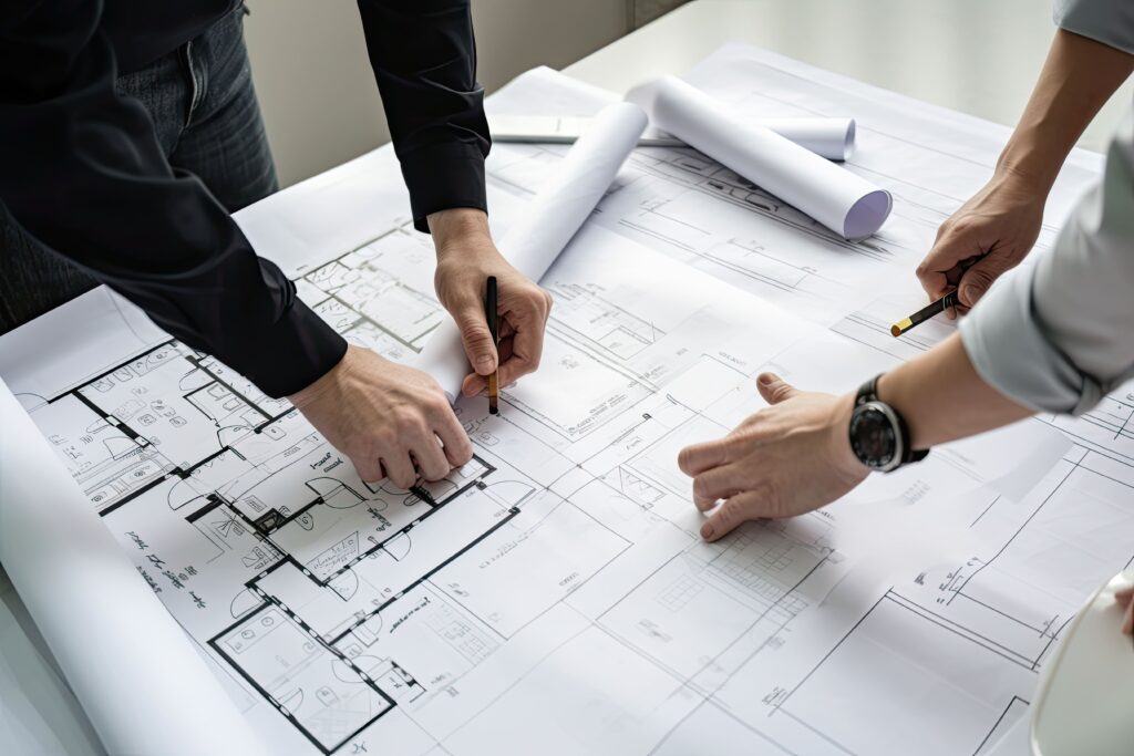
Plot Designing
Transforming empty spaces into functional, inspiring havens is what we do best. Our plot designing service is more than just blueprints – it’s a journey of collaboration, creativity, and turning your vision into a tangible reality. From optimizing layouts to maximizing aesthetics, we curate designs that align with your lifestyle and aspirations. Our dedicated team of designers and architects work closely with you to ensure every detail reflects your unique personality.
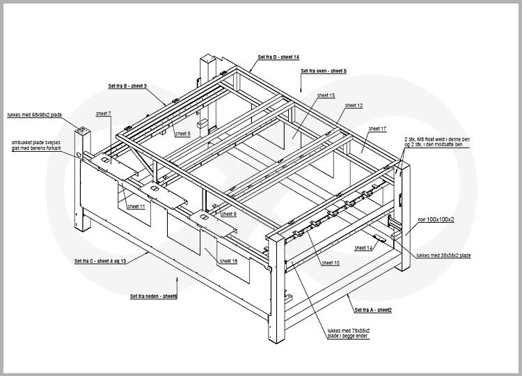
CAD Work
We undertake large scale ZD and 3D CS drafting, paper to CAD conversion, contour maps, subdivision plan, Area survey plan etc. our sill sets in CAD Survices include knowledge in drafting, designing and customizing programs in AutoCad.
Setting Out
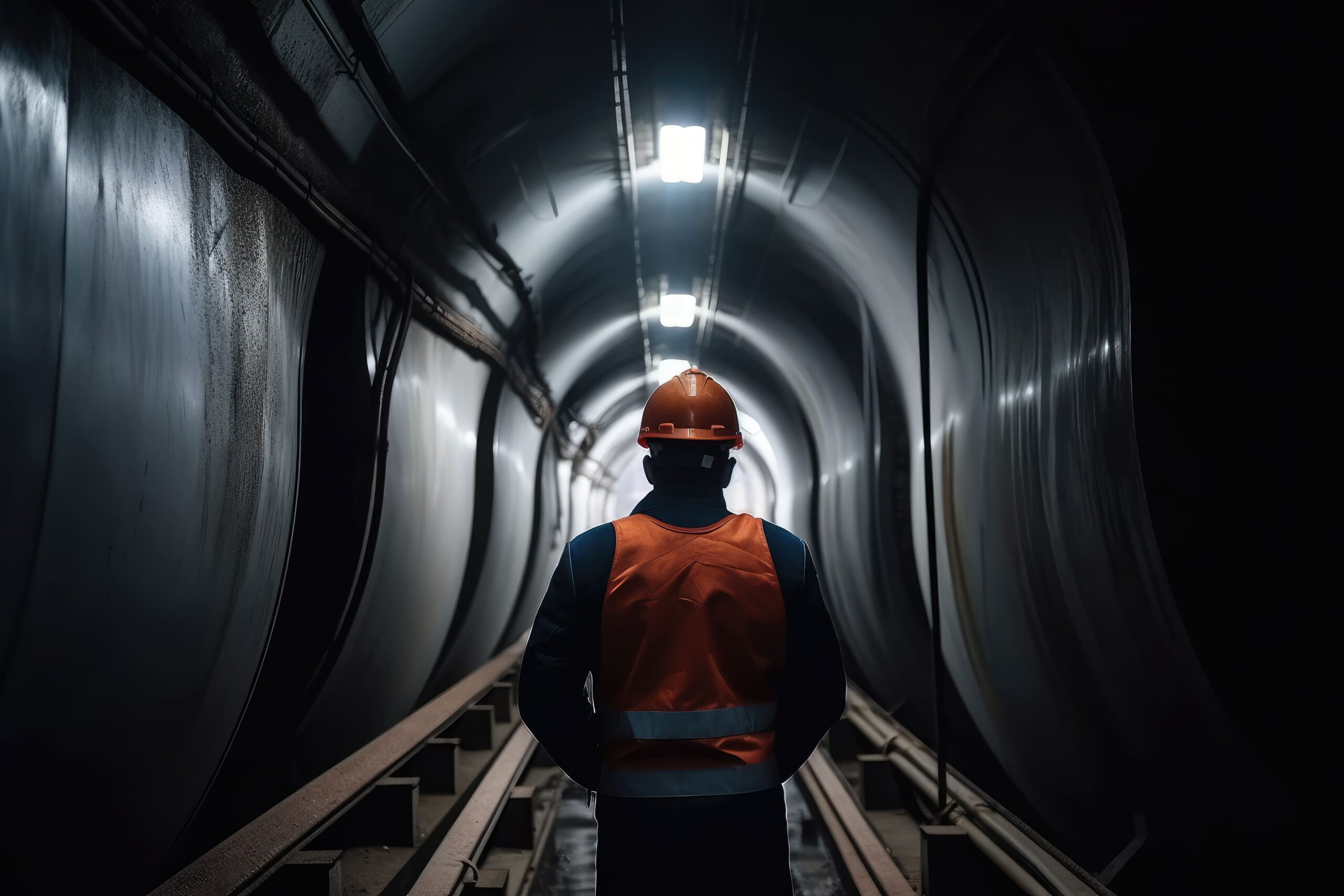
we specialize in providing dynamic setting out survey services for a wide range of infrastructure projects. Whether it’s roads, bridges, tunnels, pipelines, or railways, our experienced surveying team ensures accurate and reliable measurements that pave the way for seamless construction. From initial alignment to precision measurements, our surveying solutions are tailored to meet the unique demands of each project. We leverage cutting-edge technology and industry expertise to deliver results that lay the foundation for successful infrastructure development.
Boundary Refixing
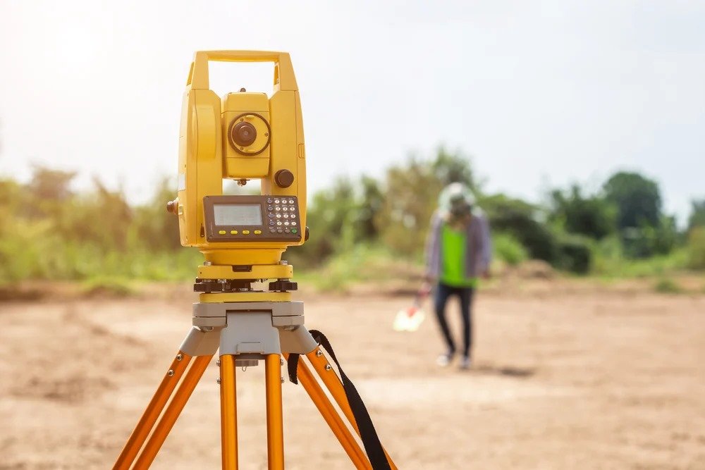
The point or refix the boundaries of a land according to the recorded measurement (old survey plan).
Boundary disputes area common issue that one faces, especially when you sell or purchase land or when you decide to build a boundary wall/Fence.

Contact Us
Whether you’re in need of land surveys, construction staking, property boundary assessments, or any other surveying services, we’ve got you covered. Your project’s success begins with precision, and that’s exactly what we deliver.
Contact us today to discuss your surveying needs, request a quote, or schedule a consultation. We’re here to help you achieve your goals with expert surveying services that you can count on. Reach out to us now, and let’s get started on your next project.
